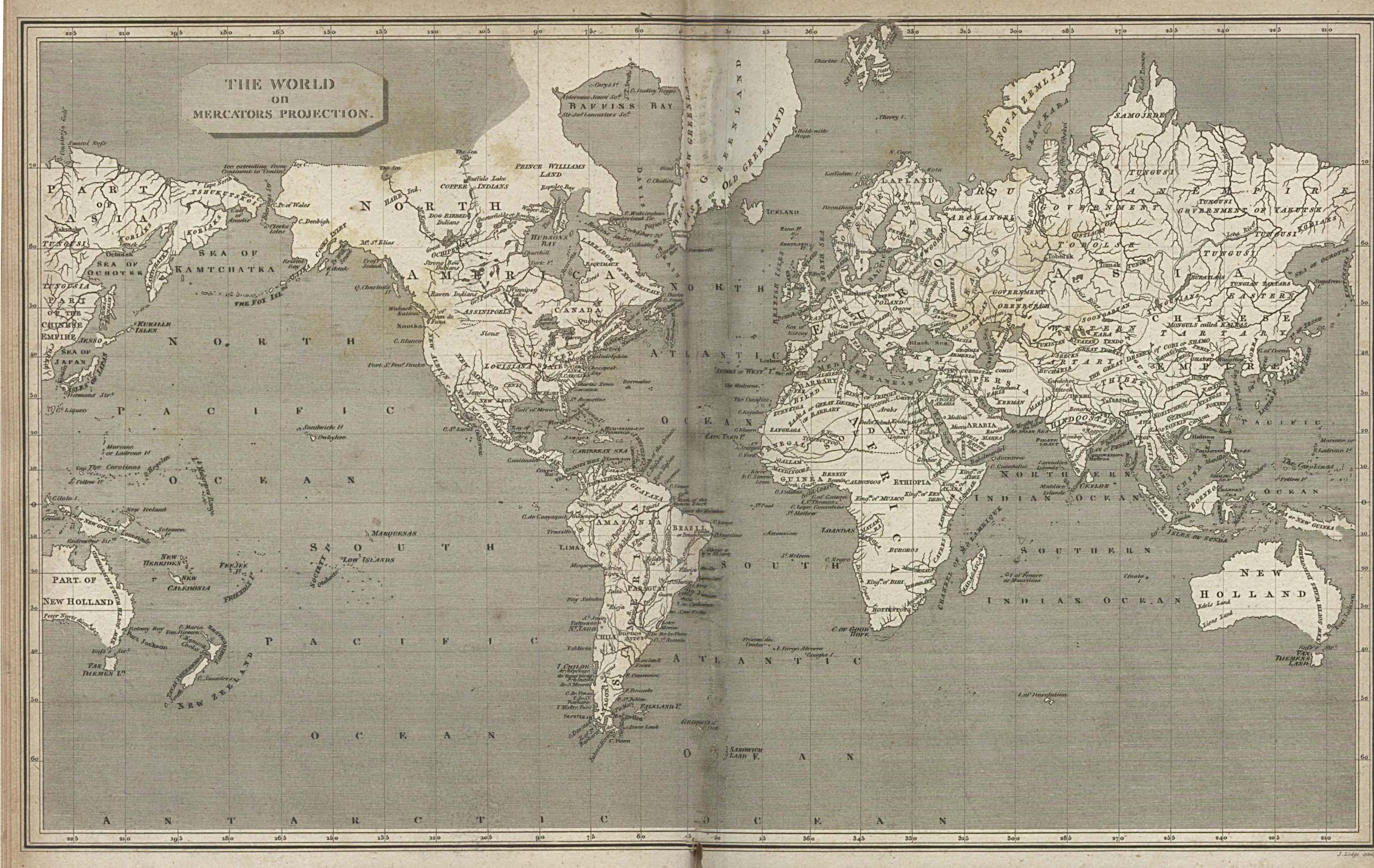
The map to the right is a hand-drawn mercator projection from 1820. This map demonstrates artistic design in antique maps and how precise (if not accurate) the cartography was
Some new maps are of old things. This is also very useful for researchers; it can show visually what happened in a clear concise way. Historical cartographers and historical geographers specialize in this area of study.
New maps, as compared to old maps, are very much less valuable to art critics, but are intensely useful to those wishing to drive from Beeville, Texas to Wells, Nevada. New mapping programs like Google Maps are very useful and very easy to find and use for the every day person. New maps are used to display information visually, but most historians have no interest in them.
National Geographic, or Rand McNally both have atlases to show the populous information, the National Geographic atlas shows useful information about the whole world and is incredibly detailed, whereas Rand McNally’s road atlas is more for people who wish to hit the road and travel across the U.S. It focuses more on the major road systems and towns on them then the smaller rural areas which most people on a road trip will not even notice.
Old Map Links:
New Map Links:


No comments:
Post a Comment